


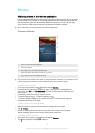
Viewing your photos on a map
Adding location information to photos is referred to as geotagging. You can view and
tag your photos on a map and show friends and family where you were when you
took a particular photo. See
Adding the geographical position to your photos
on
page 64 for more information.
If you have turned on location detection and activated geotagging in the camera, you can tag
your photos directly for map viewing at a later stage.
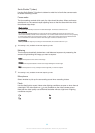
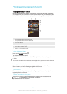
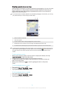
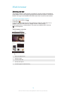
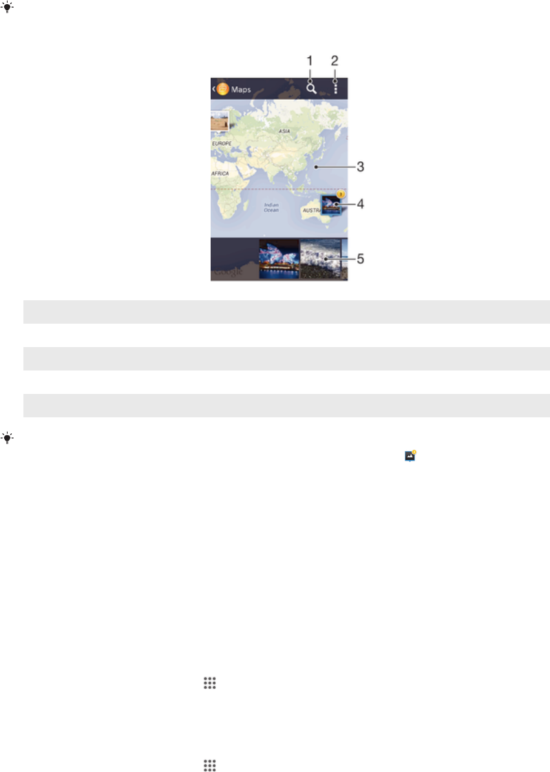
1 Search a location on the map.
2 View menu options.
3 A group of photos and/or videos geotagged with the same location.
4 Double tap to zoom in. Pinch to zoom out. Drag to view different parts of the map.
5 Thumbnails of the selected group of photos and/or videos. Tap an item to view it in full screen.
If several photos were taken at the same location, only one of them appears on the map. The
total number of photos appears in the top right corner, for example, . To view all photos in
the group, tap the cover photo and then tap one of the thumbnails at the bottom of the
screen.
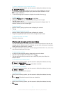
To add a geotag to a photo
1
When you are viewing a photo, tap the screen to display the toolbars, then tap
Tap to set location to open the map screen.
2
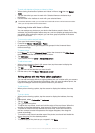
Find and tap the desired location to put the photo on the map.
3
To adjust the location of the photo, tap the location on the map to where you
want to move the photo.
4
When you are finished, tap OK to save the geotag and return to the photo
viewer.
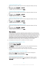
To view geotagged photos on a map
1
From your Home screen, tap .
2
Find and tap Album > My albums > Maps.
3
Tap a photo to view it in full screen.
To view geotagged photos on a globe
1
From your Home screen, tap
.
2
Find and tap Album > My albums > Globe.
3
Tap a photo to view it in full screen.
74
This is an Internet version of this publication. © Print only for private use.