GNS 430(A) Pilot’s Guide and Reference
190-00140-00 Rev. P
10-25
SECTION 10
AUX PAGES
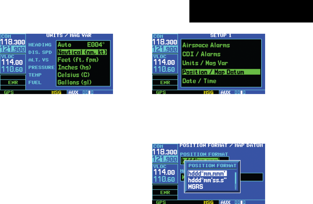
Figure 10-63 Units Mag/Var Page
The following categories, and corresponding units of
measure, are available:
• DIS, SPD - Distance and speed in Nautical
(nautical miles/knots), Statute (miles/miles per
hour), or Metric (kilometers/kilometers per hour)
terms
• ALT, VS - Altitude and vertical speed in Feet/feet
per minute, Meters/meters per minute, or Meters/
meters per second
• PRESSURE - Barometric pressure in Inches or
Millibars
• TEMP - Temperature in degrees Celsius or
Fahrenheit
• FUEL - Fuel units in Gallons, Imperial Gallons,
Kilograms, Liters, or Pounds
3) Turn the small right knob to select the desired
units of measure for the selected category.
Press the ENT Key to accept the selection.
Setup 1 Page: Position Format/Map Datum
To change the position format:
1) Select ‘Position Format/Map Datum’ from the
Setup 1 Page (Figure 10-64), using the steps
described at the beginning of this section.
Figure 10-64 Position/Map Datum Highlighted
2) The flashing cursor is on the position format
field (Figure 10-65). Turn the small right knob
to select the desired position format.
Figure 10-65 Position Format Window
The following position formats are available:
• hddd°mm.mmm’ - Latitude and longitude in
degrees and decimal minutes
• hddd°mm’ss.s’ - Latitude and longitude in degrees,
minutes, and decimal seconds
• MGRS - Military Grid Reference System
• UTM/UPS - Universal Transverse Mercator/
Universal Polar Stereographic grids
3) Press the ENT Key to accept the selected
format.


