


116 9. Tools
ⅷ Stay in network coverage. The network will provide
your phone with information that helps determine
your location more quickly and accurately.
Using GPS With Map Software
You can use the GPS feature of your phone to provide
approximate location data to a laptop computer or
similar device that is running interactive map software
such as that made by DeLorme or Microsoft. This way,
if your phone has good access to GPS signals, your
approximate position on a map can be made available
as you travel in a vehicle.
To do this, connect your phone to your laptop (or other
device) with a data cable and set your phone to
transmit data (see “To connect your phone to your
laptop or other device:” on page 116). Your phone then
provides your approximate location to the device
running the map software, which displays your location
on a map. Your phone provides an updated location
every second and the map software displays your
changing location on its map.
See “Enhancing GPS Performance” on page 115 for
more details on obtaining good location information.
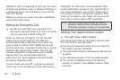
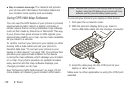
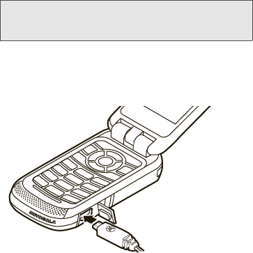
To connect your phone to your laptop or other device:
1. Pull open the connector cover.
2. With the phone’s display facing up, insert a
micro-USB data cable into the charger connector.
3. Insert the data plug into the COM port of your
laptop or other device.
Make sure no other application is using the COM port
selected.
Note: Because your phone is continuously determining your
location, using the GPS feature of your phone with map
software uses the phone’s battery power quickly.