


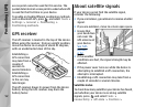
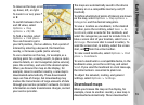
Options > Satellite status. Or, in the Maps
application, select Options > Map options >
Satellite info.
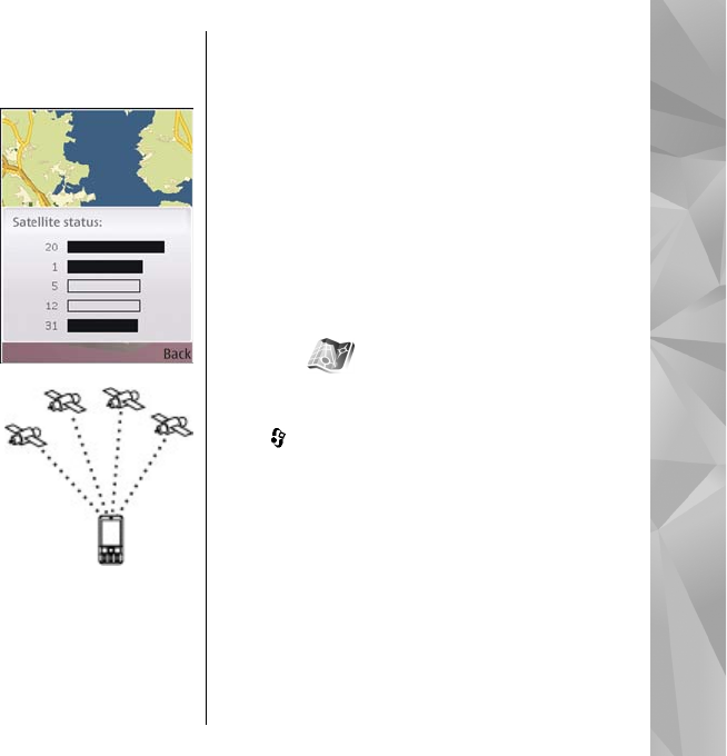
If your device has found
satellites, a bar for each
satellite is shown in the
satellite info view. The
longer the bar, the
stronger the satellite
signal. When your device
has received enough data
from the satellite signal to
calculate the coordinates
of your location, the bar
turns black.
Initially your device must
receive signals from at
least four satellites to be
able to calculate the
coordinates of your
location. When the initial
calculation has been made,
it may be possible to
continue calculating the
coordinates of your location with three satellites.
However, the accuracy is generally better when
more satellites are found.
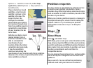
Position requests
You may receive a request from a network service
to receive your position information. Service
providers may offer information about local topics,
such as weather or traffic conditions, based on the
location of your device.
When you receive a position request, a message is
displayed showing the service that is making the
request. Select Accept to allow your position
information to be sent or Reject to deny the
request.
Maps
About Maps
Press , and select Maps.
With Maps, you can see your current location on the
map, browse maps for different cities and countries,
search for addresses and different points of interest,
plan routes from one location to another, and save
locations as landmarks and send them to
compatible devices.
You can also purchase extra services, such as guides
and a turn-by-turn navigation service with voice
guidance.
Maps uses GPS. You can define the positioning
methods used with your device in the device
53
Positioning (GPS)