Options > Set password. The password can be up to
eight characters long and is case-sensitive. The
password is stored in your device. You do not need to
enter it again while you use the memory card in the
same device. If you use the memory card in another
device, you are asked for the password. Not all memory
cards support password protection.
To remove the memory card password, select
Options > Remove password. When you remove the
password, the data on the memory card is not
protected against unauthorised use.
To open a locked memory card, select Options >
Unlock memory card. Enter the password.
Eject the memory card
Important: Do not remove the memory card in
the middle of an operation when the card is being
accessed. Removing the card in the middle of an
operation may damage the memory card as well as the
device, and data stored on the card may be corrupted.
1. Press the power key briefly, and select Remove
memory card.
2. Press the release button and slide off the back
cover.
3. Press the end of the memory card to release it from
the memory card slot.
4. Close the back cover.
Write text
The input methods provided in the device may vary
according to different sales markets.
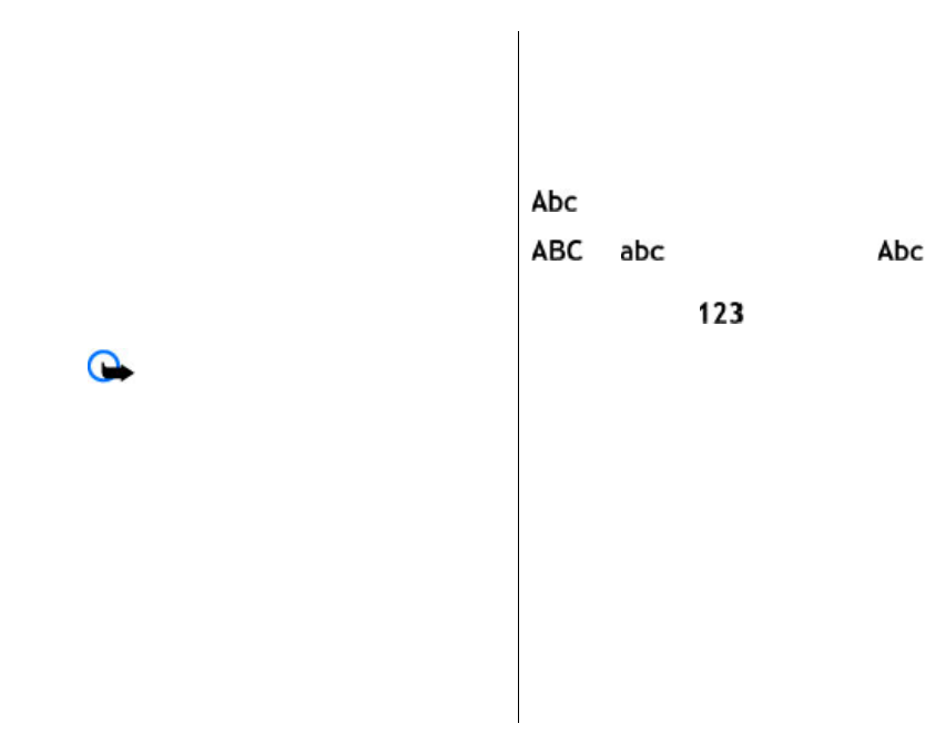
Traditional text input
is shown on the top right of the display when
you are writing text using traditional text input.
and indicate the selected case.
indicates that the first letter of the sentence is written
in uppercase and all the other letters are automatically
written in lowercase.
indicates the number
mode.
To write text with the keypad, press a number key
2-9 repeatedly until the desired character appears.
There are more characters available for a number key
than are printed on the key. If the next letter is located
on the same key as the present one, wait until the
cursor appears, and enter the letter.
To insert a number, press and hold the number key.
To switch between the upper and lower case mode and
the number mode, press #.
To erase a character, press the backspace key. Press and
hold the backspace key to erase more than one
character.
To access the most common punctuation marks, press
the 1 key. Press 1 repeatedly to reach the desired
punctuation mark.
30
Your Nokia E51


