


select Options > Edit. Scroll to the desired field, and
enter the information.
You can sort your landmarks into preset categories,
and create new categories. To edit and create new
landmark categories, scroll right in Landmarks, and
select Options > Edit categories.
To add a landmark to a category, scroll to the landmark
in Landmarks, and select Options > Add to
category. Scroll to each category to which you want to
add the landmark, and select it.
To send one or several landmarks to a compatible
device, select Options > Send, and the method. Your
received landmarks are placed in the Inbox folder in
Messaging.
GPS data
GPS data is designed to provide route guidance
information to a selected destination, position
information about your current location, and traveling
information, such as the approximate distance to the
destination and approximate duration of travel.
Press
, and select Tools > Connectivity > GPS
data.
The coordinates in the GPS are expressed in degrees
and decimal degrees format using the international
WGS-84 coordinate system.
To use GPS data, the GPS receiver of your device must
initially receive position information from at least four
satellites to calculate the coordinates of your location.
When the initial calculation has been made, it may be
possible to continue calculating the coordinates of
your location with three satellites. However, the
accuracy is generally better when more satellites are
found.
Route guidance
Press , and select Tools > Connectivity > GPS
data > Navigation.
Start the route guidance outdoors. If started indoors,
the GPS receiver may not receive the necessary
information from the satellites.
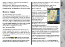
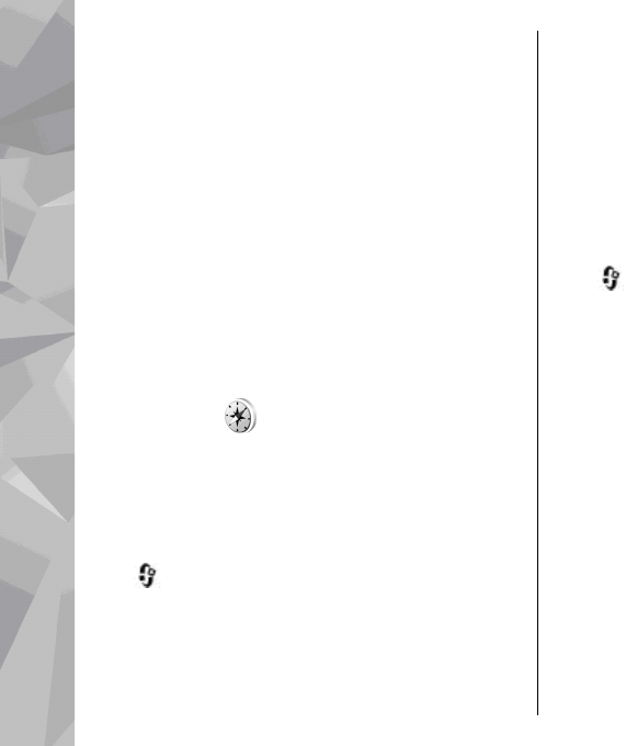
Route guidance uses a rotating compass on the device
display. A red ball shows the direction to the
destination, and the approximate distance to it is
shown inside the compass ring.
Route guidance is designed to show the straightest
route and the shortest distance to the destination,
measured in a straight line. Any obstacles on the route,
such as buildings and natural obstacles, are ignored.
Differences in altitude are not taken into account when
calculating the distance. Route guidance is active only
when you move.
To set your trip destination, select Options > Set
destination and a landmark as the destination, or
90
Positioning (GPS)