


online). Contact your network service provider for
details and roaming costs.
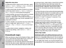
Almost all digital cartography is inaccurate and
incomplete to some extent. Never rely solely on the
cartography that you download for use in this device.
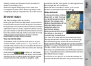
Browse maps
The map coverage varies by country.
When you open the Maps application, Maps zooms in
to the location that was saved from your last session.
If no position was saved from the last session, the Maps
application zooms in to the capital city of the country
you are in based on the information the device receives
from the cellular network. At the same time, the map
of the location is downloaded, if it has not been
downloaded during previous sessions.
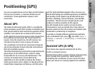
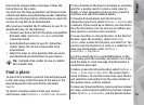
Your current location
To establish a GPS connection and zoom in to your
current location, select Options > My position, or
press 0. If the power saver turns on while the device is
attempting to establish a GPS connection, the attempt
is interrupted.
A GPS indicator
is shown on the display.
One bar is one satellite. When the device tries to find a
satellite, the bar is yellow. When the device receives
enough data from the satellite to establish a GPS
connection, the bar turns green. The more green bars,
the stronger the GPS connection.
When the GPS connection is active, your current
location is indicated on the map with
.
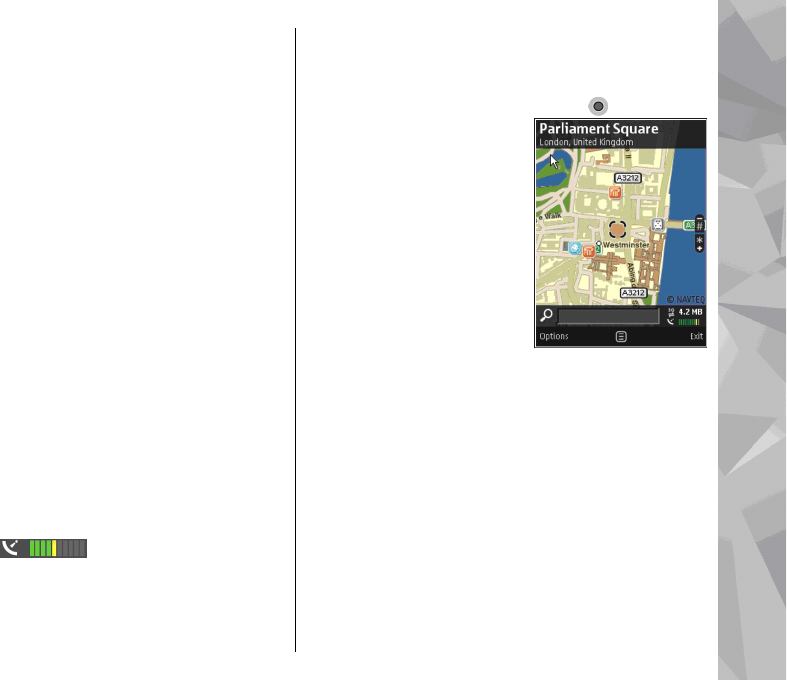
Move and zoom
To move on the map, scroll up,
down, left, or right. The map
is oriented towards north by
default. The compass rose
displays the orientation of the
map and rotates during
navigation when the
orientation changes.
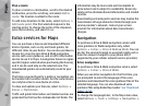
When you browse the map on
the display, a new map is
automatically downloaded if
you scroll to an area which is not covered by maps
already downloaded. These maps are free of charge,
but downloading may involve the transmission of
large amounts of data through your service provider's
network. For more information on data transmission
charges, contact your service provider.
The maps are automatically saved in the mass memory
or on a compatible memory card (if inserted and set as
the default maps storage).
To zoom in or out, press * or #. Use the scale bar to
estimate the distance between two points on the map.
93
Maps