


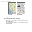
Getting Around with Maps 129
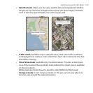
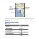
Satellite mode Maps uses the same satellite data as Google Earth. Satellite
images are not real-time. Google Earth acquires the best imagery available,
most of which is approximately one to three years old.
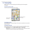
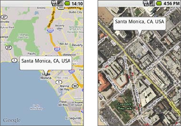
Map mode Satellite mode
Traffic mode (available only in selected areas) Real-time traffic conditions
are displayed over roads as color-coded lines. Each color represents how fast
the traffic is moving.
Street View mode (available only in selected areas) Provides a street-level
view of the location. Blue outlined roads indicate that street view is available
on those locations.
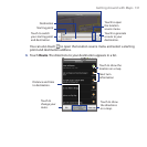
While viewing a Street View of a location, press MENU and then touch
Compass mode to turn Compass mode on. Tilt, pan, or turn your phone to
view the area around the selected location.
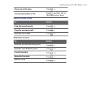
•
•
•