


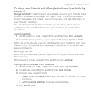
244 Maps and location
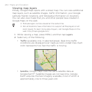
Viewing map layers
Initially, Google Maps opens with a street map. You can view additional
map layers, such as satellite images, traffic information, your Google
Latitude friends’ locations, and Wikipedia information on locations.
You can also view maps that you and other people have created in
Google Maps on the web.
Multiple layers can be viewed at the same time.
Not all locations have information to support all Map layers or all
zoom levels. To learn more about layers, visit Google Maps on the
web: http://maps.google.com/
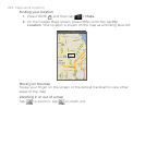
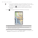
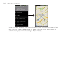
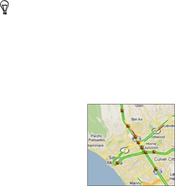
While viewing a map, press MENU, and then tap Layers.
Select any of the following.
Traffic (available only in selected areas). Real-time traffic
conditions are displayed over roads as color-coded lines. Each
color represents how fast the traffic is moving.
Satellite. Google Maps uses the same satellite data as
Google Earth™. Satellite images are not real-time. Google
Earth acquires the best imagery available, most of which is
approximately one to three years old.
1.
2.