


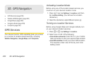
3D. GPS Navigation 235
GPS Navigation
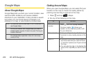
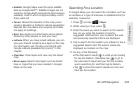
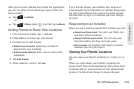
Ⅲ Satellite: Google Maps uses the same satellite
data as Google Earth™. Satellite images are not
real-time. Google Earth acquires the best imagery
available, most of which is approximately one to
three years old.
Ⅲ Terrain: Shows the elevation of the map you’re
viewing. Elevation is limited to natural geographic
features, like mountains and canyons, and does
not apply to buildings.
Ⅲ Buzz: See photos and information about places
shared by other people, or post your own.
Ⅲ Latitude: When you have joined Latitude, you can
view your friends’ locations as a layer on the map.
For information, see “Finding your friends with
Google Latitude (available by country)” in this
chapter.
Ⅲ Clear Map: Clear layers and view only the street
map.
Ⅲ More Layers: Select more layers such as transit
lines or maps that you have created in Google
Maps on the web.
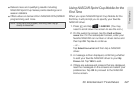
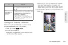
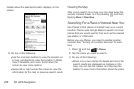
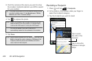
Searching For a Location
In Google Maps, you can search for a location, such as
an address or a type of business or establishment (for
example, museums).
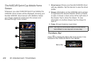
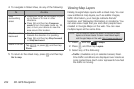
1. Press and tap > Maps.
2. While viewing a map, press .
3. Enter the place you want to search in the search
box. As you enter the location to look for,
suggested matches from your contacts, the web,
and previously searched items are displayed.
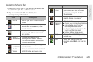
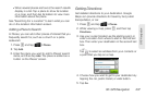
4. Tap to search for the location you entered or tap a
suggested search item.The search results are
displayed as markers on the map.
5. Do any of the following:
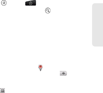
Ⅲ If the first search result ( ) is what you’re looking
for, tap the balloon. Otherwise, tap to go to
the next search result until you find the location
you’re searching for, and then tap its balloon.
Ⅲ Tap to show the search results as a list, and
then tap the location.