


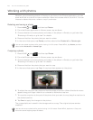
Maps and location
Using Google Maps
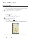
Google Maps lets you track your current location, view real-time traffic situations, and receive
detailed directions to your destination. It also provides a search tool where you can locate
places of interest or an address on a vector or aerial map, or view locations in street level.
You need an active mobile data or Wi-Fi connection to use Google Maps.
The Google Maps application does not cover every country or city.
Viewing locations
Turning on location services
Before you open Google Maps and find your location or search for places of interest, you
must enable location sources.
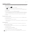
Press HOME
> MENU and then tap Settings > Location.
Select Use wireless networks, Use GPS satellites, or both.
Selecting Use GPS satellites lets you locate places of interest at street level. However, this requires a
clear view of the sky and more battery power.
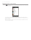
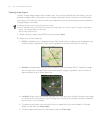
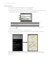
Finding your location
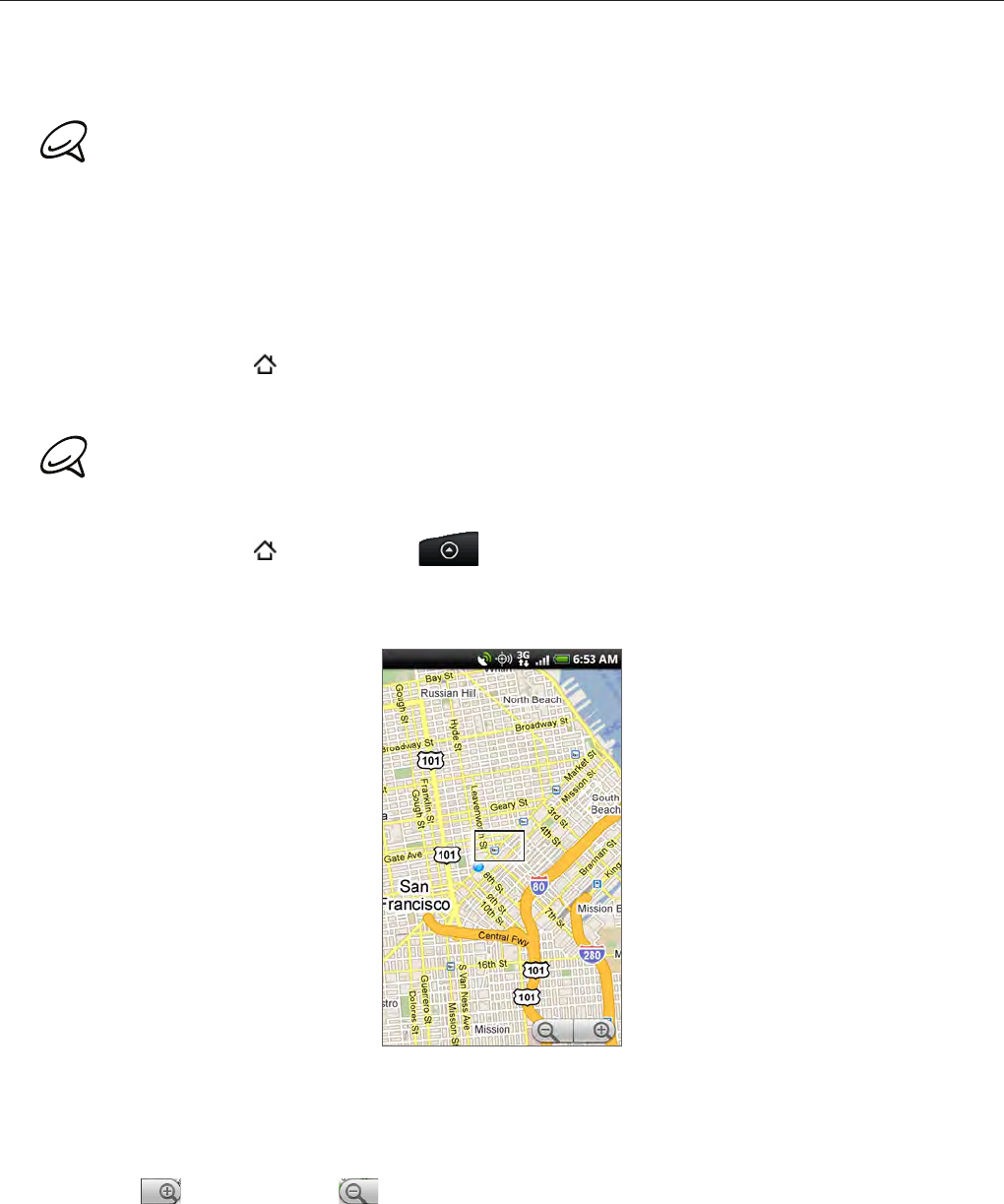
Press HOME , and then tap > Maps.
On the Google Maps screen, press MENU and then tap My Location. Your location is
shown on the map as a blinking blue dot.
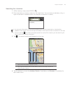
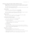
Moving on the map
Swipe your finger on the screen or the optical joystick to view other areas of the map.
Zooming in or out of a map
Tap to zoom in; tap to zoom out.
1.
2.
1.
2.